Inspired by the “every street” mapping challenge, this project tracks exactly which streets and paths of Copenhagen and Frederiksberg I’ve covered on foot — running, hiking, or walking — and by how much.
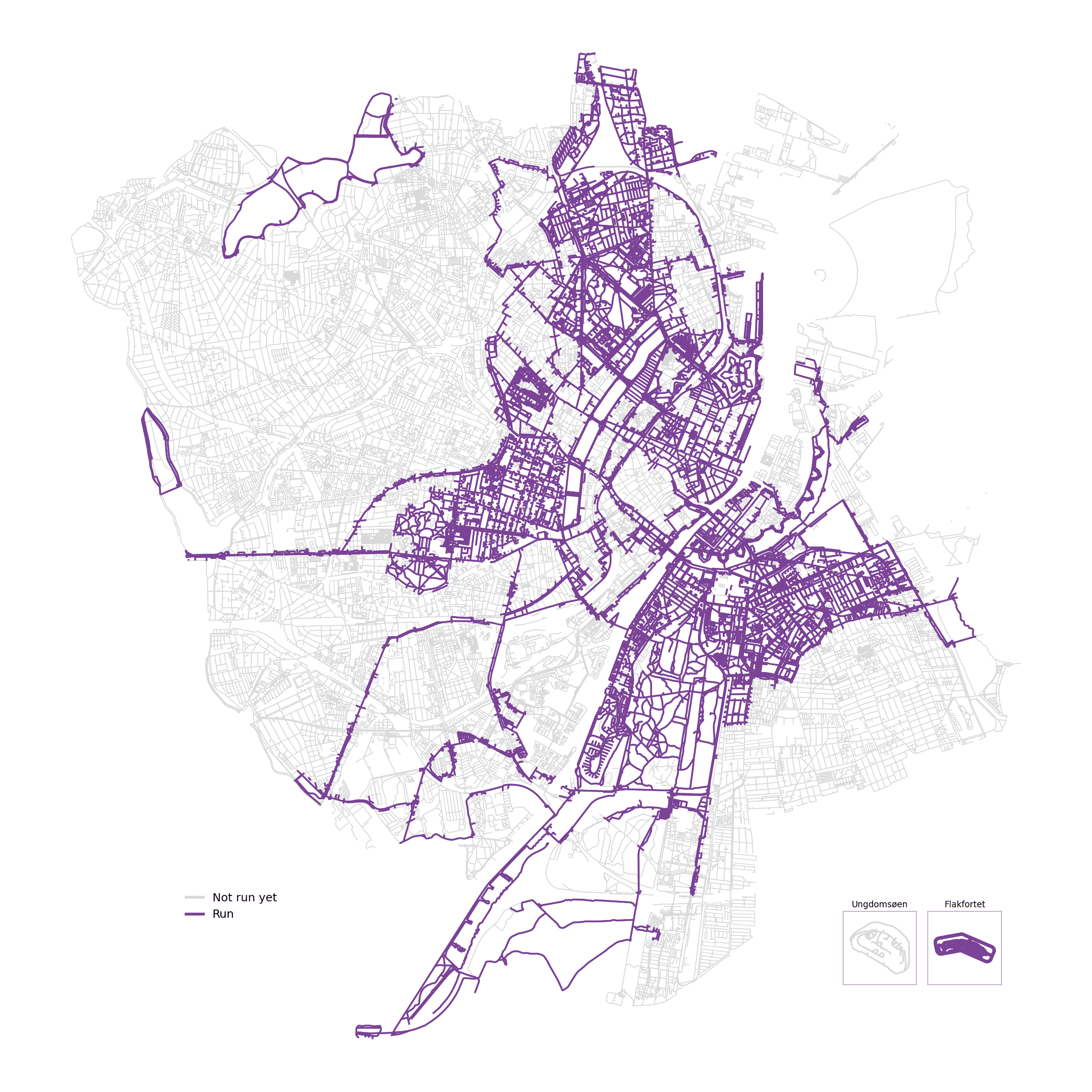
Purple = covered at least once. Grey = not yet. Snapshot as of 11 November 2026.
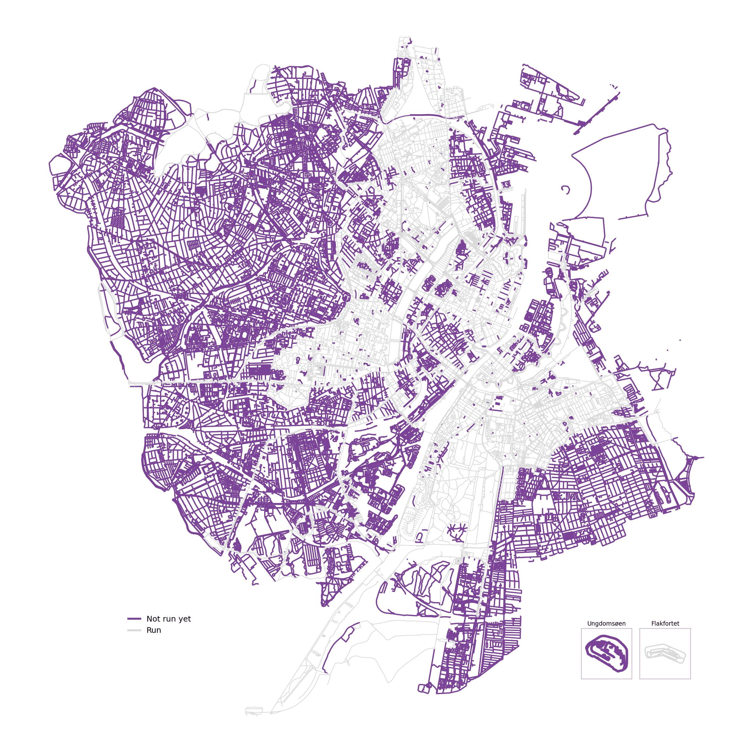
High-res version · Negative (what's left)
The street network (all walkable ways, including footpaths through parks and separated bike lanes) is pulled from OpenStreetMap and resampled into a point every ~10m. A point counts as covered as soon as one of my GPS tracks passes within a small buffer of it — tracks come from my own recorded runs and hikes, plus my full Strava activity history filtered down to on-foot activities that actually took place in Denmark.
1791 km done out of 5371 km of street network (33.7%).
| District | Done (km) | Total (km) | % done |
|---|---|---|---|
| Østerbro | 307.1 | 507.1 | 60.6% |
| Indre By | 351.8 | 585.9 | 60.0% |
| Amager Vest | 420.7 | 825.6 | 51.0% |
| Nørrebro | 129.6 | 279.8 | 46.3% |
| Amager Øst | 171.2 | 446.9 | 38.3% |
| Frederiksberg | 197.8 | 581.6 | 34.0% |
| Vesterbro-Kongens Enghave | 99.2 | 547.4 | 18.1% |
| Bispebjerg | 43.3 | 405.1 | 10.7% |
| Valby | 32.9 | 475.7 | 6.9% |
| Brønshøj-Husum | 23.2 | 397.9 | 5.8% |
| Vanløse | 14.6 | 318.1 | 4.6% |
(Copenhagen’s 10 official bydele, plus Frederiksberg as its own municipality — boundaries from Københavns Kommune’s open-data service, since OpenStreetMap doesn’t carry them.)
A full write-up of the pipeline is coming to the blog. This page is regenerated from a small Python/geopandas script and will be updated as coverage grows.